-
 ×
- Hjem
- Kunstt Tryk ▸
- kunstnere ▸
- Kategorier ▸
- Kunst Stilarter ▸
- Billedramme ▸
- Tryk medie ▸
- Alle trykmedier
- Lærred Leonardo (satin)
- Lærred Salvador (mat)
- Lærred Raphael (mat)
- FineArt Foto Mat
- FineArt Foto Satin
- FineArt Foto Baryte
- FineArt Foto Blank
- Akvarel Karton Munch
- Akvarel Karton Renoir
- Akvarel Karton Turner
- Akvarel Karton Dürer
- Natural Line Hemp
- Natural Line Rice
- Kozo White, 110g
- Kozo Natural, 110g
- Inbe White, 125g
- Unryu, 55g
- Bamboo, 110g
- Premio Unryu, 165g
- Murakumo Natural, 42g
- Bizan Natural, 300g
- Bizan White, 300g
- Aluminiumskomposit 3mm
- Akrylglas 5mm
- Bestil prøvesæt
- Hvilket trykmedie passer?
Lærred
Fotopapir
Akvarelkarton
Natural Line
Japansk papir
Særlige medier
Mere information
- Hjælp & Service ▸
- Kontakt os
- Sælg din kunst
- Ofte stillede spørgsmål
- Ledige stillinger
- Reklamation
- Bestil prøver
- Bestil gavekort
- Forsendelsesomkostninger
- Produktionstid
- Bæredygtighed
- Billedsøgning
- Særlige ønsker
- Hvem er vi?
- Prispolitik
- Virksomhedspolitik
- Kvalitetsløfte
- Udmærkelser
- Blindramme
- Passepartout
- Dekorative rammer
- Glas
- Lister
- Ophængningssystemer
- Trykmedier
- Plejetips
- Aftryk
- V&B
- Databeskyttelse
- Fortrydelsesret
Info og service
Mere information
Værd at vide
Juridiske oplysninger
- Shop ▸
- Kontakt





 Se i 3D / AR
 Føj til favoritterMine favoritter
 Vælg vægfarve
 Se maleri i et rum
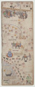
.jpg "Detalje af en kopi af et catalansk kort over Europa og Nordafrika, overrakt til Karl 5. af Frankrig i 1381")
 (detail of 151844) - (MeisterDrucke-38188).jpg "Detalje fra det catalanske atlas, 1375 (detalje af 151844)")
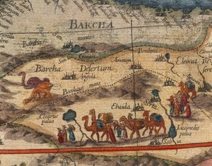
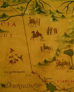
 (detail from 330922) - (MeisterDrucke-92751).jpg "Afrikas nordkyst, fra et nautisk atlas, 1651 (blæk på vellum) (detalje fra 330922)")

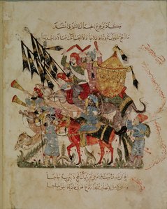
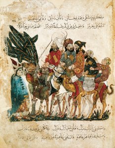
 by Al-Hariri c1240 (gouache on vellum) - (MeisterDrucke-111982).jpg "Ms c-23 f.12a, En karavane stopper, fra \"The Maqamat\" (Møderne) af Al-Hariri, ca. 1240 (gouache på pergament)")
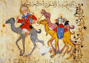
.jpg "En arabisk handelsmand på en kamel, detalje fra et renæssancekort over Europa, Jacopo Russo (efter) 1528")
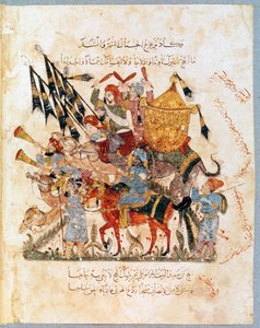

.jpg "Ms Ar 3229 f.117, Gruppe af ryttere, miniature fra Al Maqamat (The Meetings) af Al-Hariri (gouache på vellum)")
.jpg "Nofals krig med Leylis stamme")
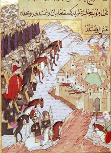
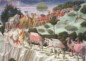
 by Al-Hariri c1240 (gouache on vellum) - (MeisterDrucke-112530).jpg "Ms Ar 5847 f.19m, Fejring af slutningen af ramadanen, fra \"Maqamat\" (møderne) af Al-Hariri, ca. 1240 (gouache på pergament)")
.jpg "En miniatureryttere fra manuskriptet \"De Universo\" (eller De rerum naturis (De la Nature des choses)) (cod. 132) af Rabanus Maurus Magnentius (eller Raban Maur eller Rabano Mauro) (ca. 780-856). 9. århundrede Arkiv for Monte Cassino Abbey (Mount Cassin)")
 by Al-Hariri c1240 - (MeisterDrucke-86046).jpg "Ms Ar 5847 f.138, Abu Zayd og Al-Harith udspørger landsbyboere, fra")
 (detail from 330919) - (MeisterDrucke-120357).jpg "Byerne Marseille og Genova med deres havne, fra et nautisk atlas, 1651 (blæk på vellum) (detalje fra 330919)")
.jpg "Majnun ser kampen mellem Nawfal og Lailas stamme af den iranske mester. (Akvarel, gouache, hvid farve, blæk på papir")
.jpg "Blad fra Morgan Picture Bible")
.jpg "Ms Ar 5847 f.134, I ørkenen opdager Al-Harith Abou Zayd sovende, Al Maqamat af Al Hariri, ca. 1240 (gouache på vellum)")
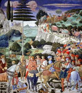
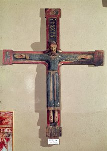
.jpg "Sankt Margrethes martyrium, helgenen tortureres og halshugges derefter, detalje")
.jpg "Sankt Clements martyrium, detalje fra et alterforside med scener fra Sankt Clements liv, fra kirken Sant Climent de Taüll, Vall de Boí, Alta Ribagorça, anden halvdel af 13. århundrede")
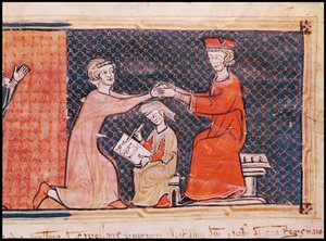
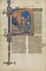
.jpg "Kristus i herlighed, fra kirken San Clemente de Tahull, Lleida, Spanien")
.jpg "7249 Esp.30 f.2v-3 Detalje fra et catalansk verdenskort, 1375")
 - (MeisterDrucke-52967).jpg "Flugten til Egypten, detalje fra en altertavle viet til Jomfruen")
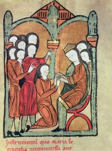
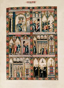
_Bishop_of_Carthage_brought_before_Emperor_Valerian_(r253-6_-_(MeisterDrucke-1422114).jpg "St. Cyprian (ca. 200-258) Biskop af Karthago stillet for kejser Valerian (r.253-60) 1300-25")
 - (MeisterDrucke-98621).jpg "Alterfrontale med scener fra Sankt Klemens")
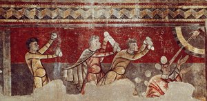
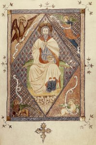
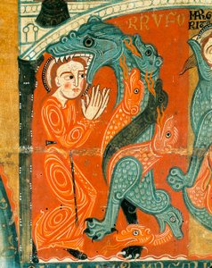
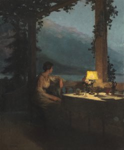
.jpg "Pigen med perleøreringen")
.jpg "Selvportræt med japansk lygte")
.jpg "Selvportræt i pelsfrakke")
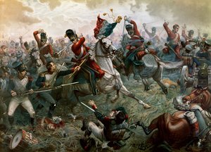
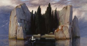
.jpg "Åkandedammen, grønne spejlinger")
.jpg "Kølskippere, der læsser kul i måneskin")
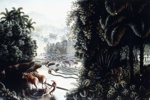
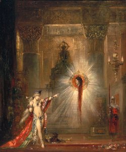

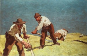
.jpg "Marie Krøyer siddende i liggestolen i haven ved fru Bendsens hus")
.jpg "Mand og kvinde, omfavnelse")
.jpg "Filosofi")

 +43 4257 29415
 support@meisterdrucke.com
 Mo-Do: 7:00 - 16:00 | Fr: 7:00 - 13:00