-
 ×
- Hjem
- Kunstt Tryk ▸
- kunstnere ▸
- Kategorier ▸
- Kunst Stilarter ▸
- Billedramme ▸
- Tryk medie ▸
- Alle trykmedier
- Lærred Leonardo (satin)
- Lærred Salvador (mat)
- Lærred Raphael (mat)
- FineArt Foto Mat
- FineArt Foto Satin
- FineArt Foto Baryte
- FineArt Foto Blank
- Akvarel Karton Munch
- Akvarel Karton Renoir
- Akvarel Karton Turner
- Akvarel Karton Dürer
- Natural Line Hemp
- Natural Line Rice
- Kozo White, 110g
- Kozo Natural, 110g
- Inbe White, 125g
- Unryu, 55g
- Bamboo, 110g
- Premio Unryu, 165g
- Murakumo Natural, 42g
- Bizan Natural, 300g
- Bizan White, 300g
- Aluminiumskomposit 3mm
- Akrylglas 5mm
- Bestil prøvesæt
- Hvilket trykmedie passer?
Lærred
Fotopapir
Akvarelkarton
Natural Line
Japansk papir
Særlige medier
Mere information
- Hjælp & Service ▸
- Kontakt os
- Sælg din kunst
- Ofte stillede spørgsmål
- Ledige stillinger
- Reklamation
- Bestil prøver
- Bestil gavekort
- Forsendelsesomkostninger
- Produktionstid
- Bæredygtighed
- Billedsøgning
- Særlige ønsker
- Hvem er vi?
- Prispolitik
- Virksomhedspolitik
- Kvalitetsløfte
- Udmærkelser
- Blindramme
- Passepartout
- Dekorative rammer
- Glas
- Lister
- Ophængningssystemer
- Trykmedier
- Plejetips
- Aftryk
- V&B
- Databeskyttelse
- Fortrydelsesret
Info og service
Mere information
Værd at vide
Juridiske oplysninger
- Shop ▸
- Kontakt




 Se i 3D / AR
 Føj til favoritterMine favoritter
 Vælg vægfarve
 Se maleri i et rum
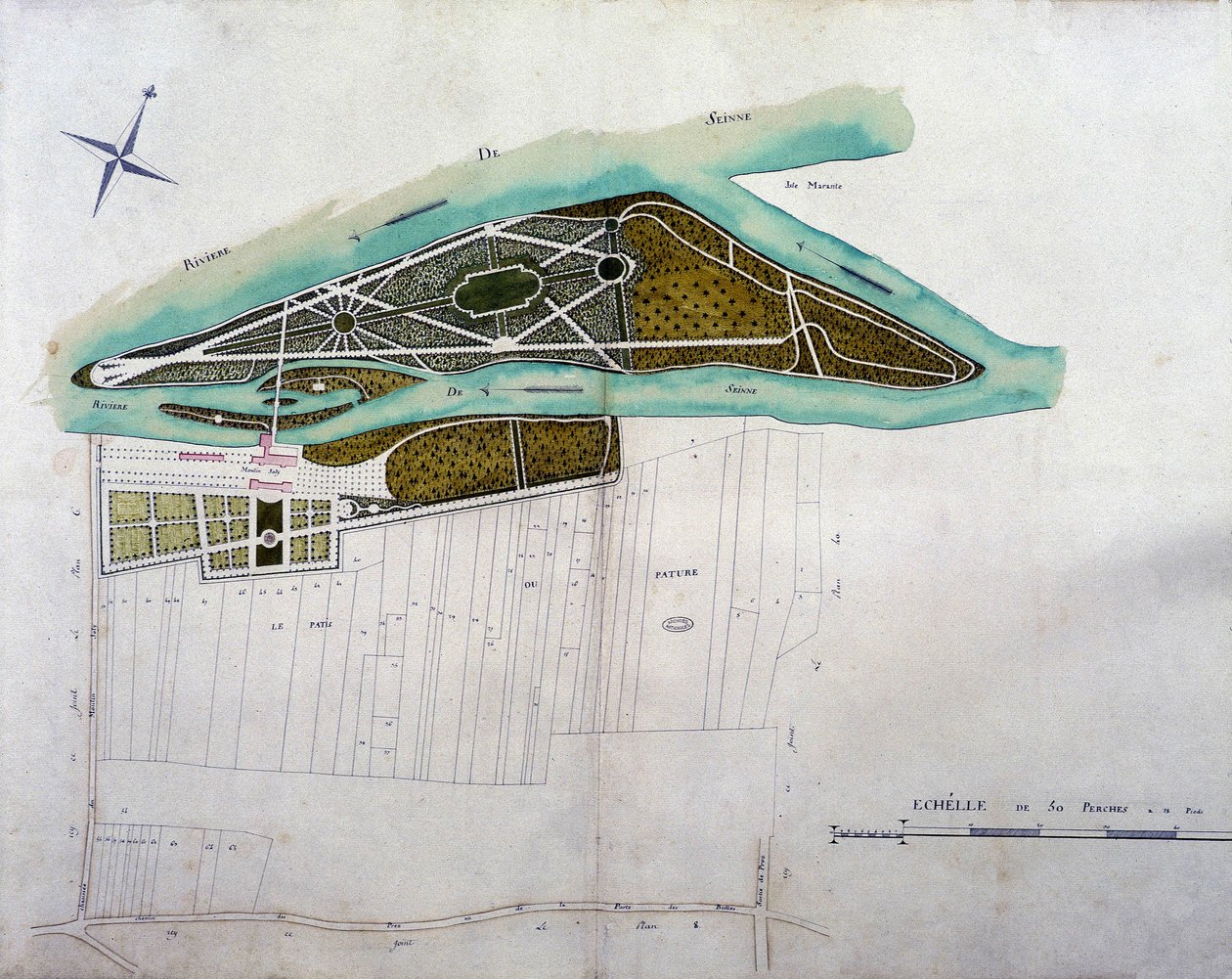
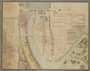
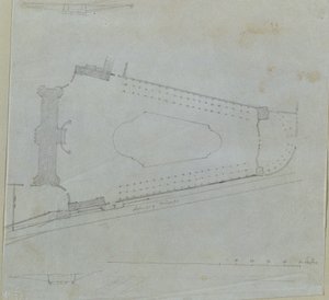
.jpg "Plan for kærlighedens ø i Gatchina Park")

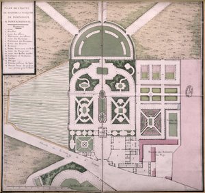
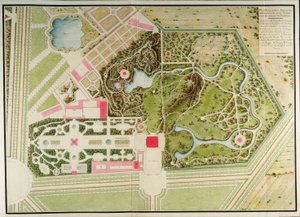
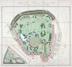
 - (MeisterDrucke-160554).jpg "Plan af Parc Monceau, 1803 (pen og blæk og wc på papir)")


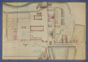
.jpg "Plan af Richard Grenville, hertug af Buckinghams have i Stowe, ætset af kunstneren, 1827")
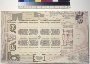
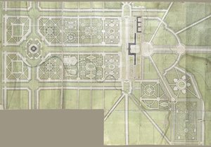
.jpg "Plan over Villa del Poggio Imperiale")
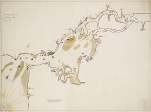
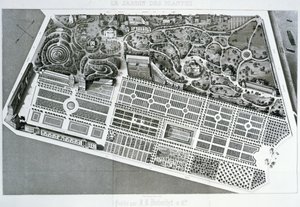
.jpg "1870 kopi af kort fra 1599 over Haarlem blegemarker nær Bloemendaal")
.jpg "Plan over byen Sydney, fra Voyage Autour du Monde (1817-20), offentliggjort 1822-24")
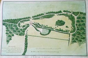
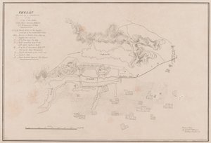
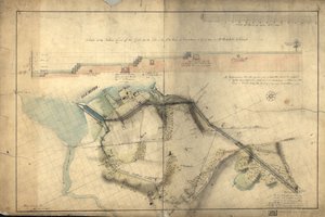
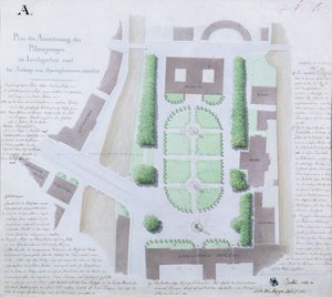
 - (MeisterDrucke-655173).jpg "New York 1695, 1846 (sort blæk på papir, bakket med papir)")
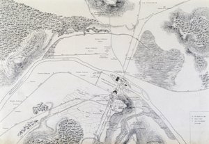
_Sanuto_-_Map_of_Jerusalem_from_Book_of_Secrets_of_Faithful_of_Cross_(Liber_Secretorum_Fid_-_(MeisterDrucke-1101301).jpg "Kort over Jerusalem, fra Korsets troendes hemmeligheder (Liber Secretorum Fidelium Crucis)")
.jpg "Design til at slutte Tuilerierne til Louvre, 1808")
.jpg "Oksekød: diagram over de forskellige udskæringer")
.jpg "Achilleus")
.jpg "«Manden med seks hoveder», karikatur af Charles Maurice de Talleyrand-Périgord (1754-1838), 1815")
.jpg "Venus")
.jpg "Tolv solsikker i en vase")
.jpg "Kysset, 1907-08, detalje af 601")
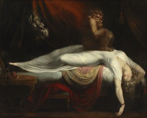
.jpg "Den fortabte søns hjemkomst")
_-_Shooting_Stars_(Franz_and_Mary_-_(MeisterDrucke-977653).jpg "Stjerneskud (Franz og Mary von Stuck)")
.jpg "Nuda veritas")
.jpg "Ofelia")
 engraved by Langlois from Choix des Plus Belles Fleurs 1827-33 - (MeisterDrucke-206143).jpg "Lathyrus odoratus, graveret af Langlois, fra «Choix des Plus Belles Fleurs», 1827-33")
.jpg "Accent i rosa, 1926")

 +43 4257 29415
 support@meisterdrucke.com
 Mo-Do: 7:00 - 16:00 | Fr: 7:00 - 13:00