-
 ×
- Hjem
- Kunstt Tryk ▸
- kunstnere ▸
- Kategorier ▸
- Kunst Stilarter ▸
- Billedramme ▸
- Tryk medie ▸
- Alle trykmedier
- Lærred Leonardo (satin)
- Lærred Salvador (mat)
- Lærred Raphael (mat)
- FineArt Foto Mat
- FineArt Foto Satin
- FineArt Foto Baryte
- FineArt Foto Blank
- Akvarel Karton Munch
- Akvarel Karton Renoir
- Akvarel Karton Turner
- Akvarel Karton Dürer
- Natural Line Hemp
- Natural Line Rice
- Kozo White, 110g
- Kozo Natural, 110g
- Inbe White, 125g
- Unryu, 55g
- Bamboo, 110g
- Premio Unryu, 165g
- Murakumo Natural, 42g
- Bizan Natural, 300g
- Bizan White, 300g
- Aluminiumskomposit 3mm
- Akrylglas 5mm
- Bestil prøvesæt
- Hvilket trykmedie passer?
Lærred
Fotopapir
Akvarelkarton
Natural Line
Japansk papir
Særlige medier
Mere information
- Hjælp & Service ▸
- Kontakt os
- Sælg din kunst
- Ofte stillede spørgsmål
- Ledige stillinger
- Reklamation
- Bestil prøver
- Bestil gavekort
- Forsendelsesomkostninger
- Produktionstid
- Bæredygtighed
- Billedsøgning
- Særlige ønsker
- Hvem er vi?
- Prispolitik
- Virksomhedspolitik
- Kvalitetsløfte
- Udmærkelser
- Blindramme
- Passepartout
- Dekorative rammer
- Glas
- Lister
- Ophængningssystemer
- Trykmedier
- Plejetips
- Aftryk
- V&B
- Databeskyttelse
- Fortrydelsesret
Info og service
Mere information
Værd at vide
Juridiske oplysninger
- Shop ▸
- Kontakt


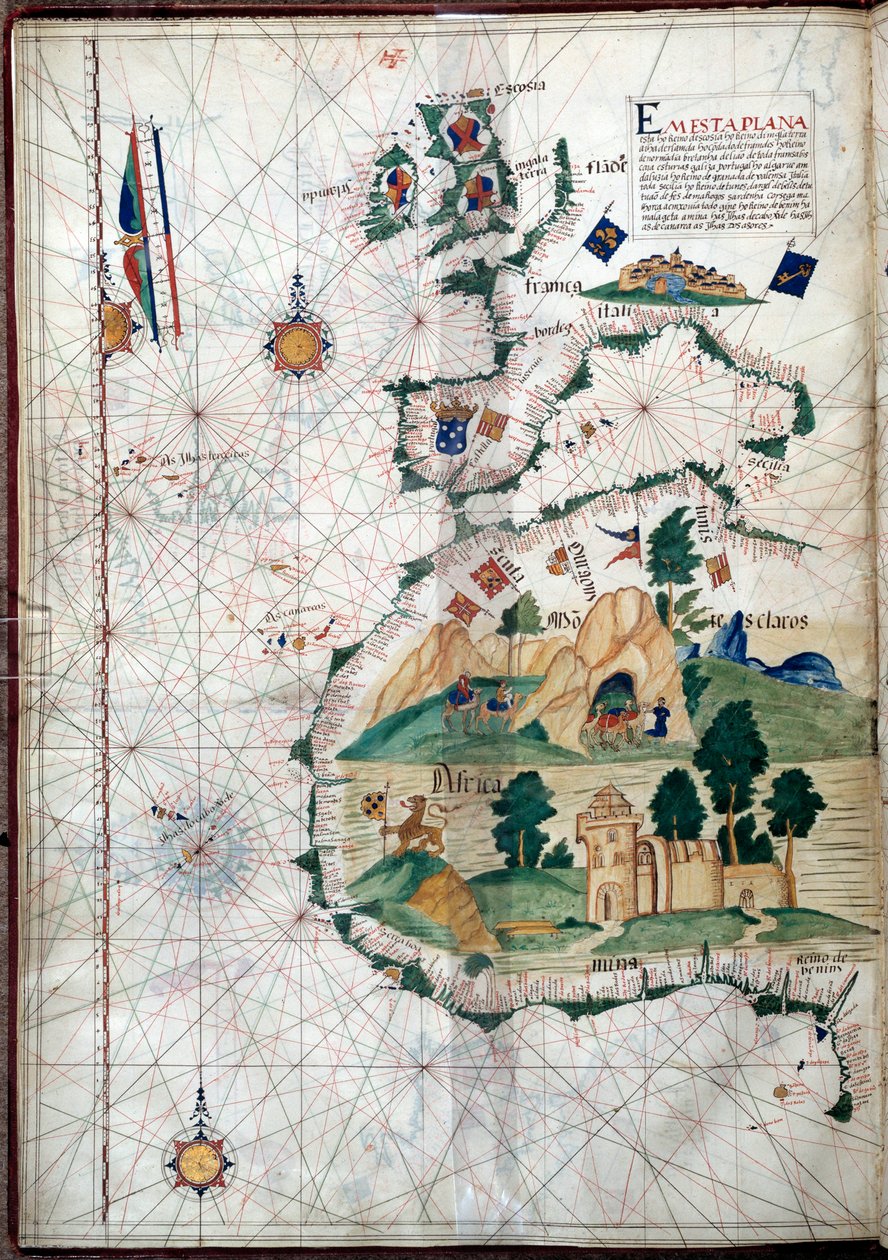

.jpg)
 Se i 3D / AR
 Føj til favoritterMine favoritter
 Vælg vægfarve
 Se maleri i et rum

 - (MeisterDrucke-107630).jpg "Egypten og Det Røde Hav, fra et nautisk atlas over Middelhavet og Mellemøsten (blæk på vellum)")


.jpg "Fol. 47v Kort over Peru, fra")

 (see also 330937-330938) - (MeisterDrucke-82399).jpg "Middelhavsområdet, fra et søatlas, 1646")
.jpg "Kort over Arabien og det østlige Middelhav, del af et Portolan-atlas, ca. 1650 (pen og blæk på papir)")
.jpg "Søkort over Middelhavet og Sortehavet")
 (see also 330914) - (MeisterDrucke-115397).jpg "Det østlige Middelhav, fra et nautisk atlas, 1520 (blæk på vellum) (se også 330914)")
.jpg "Søkort over Middelhavet og Sortehavet")
 - (MeisterDrucke-104412).jpg "Kort over Molukkerne, 1522")


 (detail from 330916) - (MeisterDrucke-131759).jpg "Nordafrika, fra et nautisk atlas, 1520 (blæk på vellum) (detalje fra 330916)")


.jpg "Sortehavet og det østlige Middelhav")
 (detail from 330913) - (MeisterDrucke-123431).jpg "Det Røde Hav, fra et nautisk atlas, 1520 (blæk på vellum) (detalje fra 330913)")

.jpg "Søkort over Middelhavsområdet, herunder Europa med de britiske øer og en del af Skandinavien")

.jpg "Sortehavet og det østlige Middelhav")
 (see also 330920-330921) - (MeisterDrucke-83175).jpg "Europas Atlanterhavskyster og det vestlige Middelhav, fra et nautisk atlas, 1651 (blæk på vellum) (se også 330920-330921)")
 (detail from 330919) - (MeisterDrucke-120357).jpg "Byerne Marseille og Genova med deres havne, fra et nautisk atlas, 1651 (blæk på vellum) (detalje fra 330919)")

 (panel) - (MeisterDrucke-62799).jpg "Portræt af Johan 2. af Portugal (1455-95)")

.jpg "Vasco da Gamas karavel, illustration fra ‘Memórias das Armadas...’, ca. 1568")

.jpg "Geografisk kort over Azorerne, 1587")


.jpg "Ferdinand Magellans skib „Victoria“, det første til at sejle jorden rundt")

 Portuguese soldier and first viceroy of the Indies - (MeisterDrucke-42041).jpg "Francisco de Almeida (ca. 1450-1510), portugisisk soldat og den første vicekonge i Indien")


 The Fortunate King of Portugal from Lettura Nova by Alem Duoro 1513 - (MeisterDrucke-63889).jpg "Manuel 1. (1469-1521) «den Lykkelige», konge af Portugal, fra «Lettura Nova» af Alem Duoro, 1513")
.jpg "Kort over Atlanterhavet, ca. 1550")

.jpg "Havn med dronningen af Sabas indskibning")
.jpg "Kunstnerens have i Wannsee, 1918")

.jpg "Drageflyvning")
.jpg "Gammel kvinde og dreng med stearinlys, ca. 1616-1617")


.jpg "Den ækvatoriale jungle, 1909")
.jpg "Egelund, 1887")

.jpg "Venus")

.jpg "Haven i Giverny, 1900")

 +43 4257 29415
 support@meisterdrucke.com
 Mo-Do: 7:00 - 16:00 | Fr: 7:00 - 13:00