-
 ×
- Hjem
- Kunstt Tryk ▸
- kunstnere ▸
- Kategorier ▸
- Kunst Stilarter ▸
- Billedramme ▸
- Tryk medie ▸
- Alle trykmedier
- Lærred Leonardo (satin)
- Lærred Salvador (mat)
- Lærred Raphael (mat)
- FineArt Foto Mat
- FineArt Foto Satin
- FineArt Foto Baryte
- FineArt Foto Blank
- Akvarel Karton Munch
- Akvarel Karton Renoir
- Akvarel Karton Turner
- Akvarel Karton Dürer
- Natural Line Hemp
- Natural Line Rice
- Kozo White, 110g
- Kozo Natural, 110g
- Inbe White, 125g
- Unryu, 55g
- Bamboo, 110g
- Premio Unryu, 165g
- Murakumo Natural, 42g
- Bizan Natural, 300g
- Bizan White, 300g
- Aluminiumskomposit 3mm
- Akrylglas 5mm
- Bestil prøvesæt
- Hvilket trykmedie passer?
Lærred
Fotopapir
Akvarelkarton
Natural Line
Japansk papir
Særlige medier
Mere information
- Hjælp & Service ▸
- Kontakt os
- Sælg din kunst
- Ofte stillede spørgsmål
- Ledige stillinger
- Reklamation
- Bestil prøver
- Bestil gavekort
- Forsendelsesomkostninger
- Produktionstid
- Bæredygtighed
- Billedsøgning
- Særlige ønsker
- Hvem er vi?
- Prispolitik
- Virksomhedspolitik
- Kvalitetsløfte
- Udmærkelser
- Blindramme
- Passepartout
- Dekorative rammer
- Glas
- Lister
- Ophængningssystemer
- Trykmedier
- Plejetips
- Aftryk
- V&B
- Databeskyttelse
- Fortrydelsesret
Info og service
Mere information
Værd at vide
Juridiske oplysninger
- Shop ▸
- Kontakt





 Se i 3D / AR
 Føj til favoritterMine favoritter
 Vælg vægfarve
 Se maleri i et rum
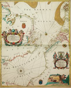
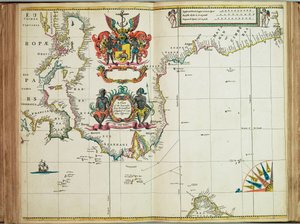
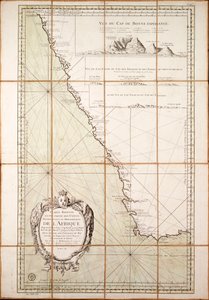
.jpg "Kysttyper af Grønland, Ø, Davidstrædet, John Mayen -øen og Hitland, Skotlands og Irlands nordkyst")
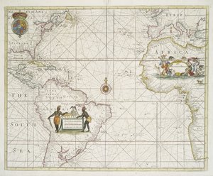
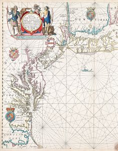

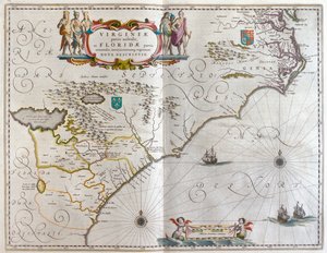
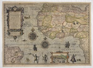
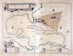
 - (MeisterDrucke-126167).jpg "Et kort over Vestindien fra Cape Cod til floden Oronoque fra Atlas maritimus af John Seller, 1682 (håndfarvet gravering)")
.jpg "Kort over Zuiderzee og Waddenzee Paskaarte of the Zuyder Zee (titel på objekt)")
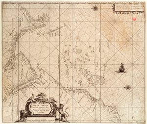
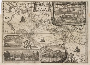
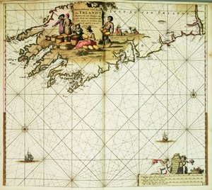
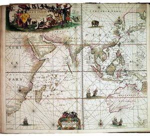
.jpg "Kort fra Nationalbibliotekets kortsamling. Kortet viser Kattegat")



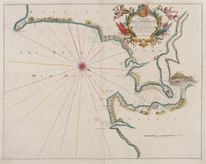
.jpg "Kort af Palæstina En ny beskrivelse af det hellige land eller det forjættede land (titel på objekt)")
.jpg "Et nyt og præcist kort over Persien med de tilstødende lande.")
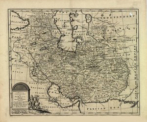
.jpg "Kortet over det persiske imperium i 1747 på tidspunktet for Afsharid -dynastiet")
.jpg "Kort over øen Jamaica, opdelt i dets vigtigste sogne ca. 1760 (håndfarvet gravering)")
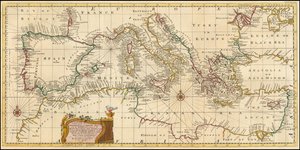
.jpg "i Anatolien eller Lilleasien, med Syrien og andre provinser i det tyrkiske imperium som grænse derpå.")
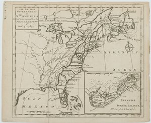
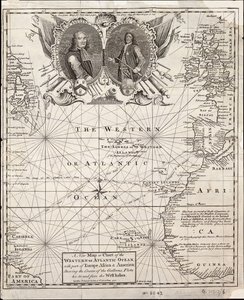
.jpg "Skakspil, 1555")
.jpg "Komposition VIII. Maleri af Wassily Kandinsky (eller Wassily Kandinski eller Kandinskij, 1866-1944). 1915 Sol. 201x140 cm New York, Guggenheim Museum")
.jpg "Vasilisa i skoven, illustration fra det russiske folkeeventyr «Den meget smukke Vasilisa», 1899")
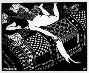
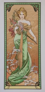
.jpg "Montage af 8 sider fra Cresques")

.jpg "Portræt, formodet at være Johann Sebastian Bach, 1717-23")
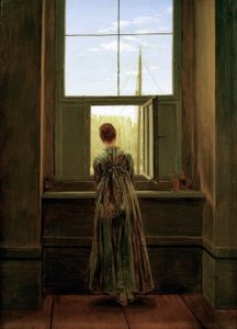

.jpg "Selvportræt i pelsfrakke")
.jpg "Hans vredes store dag")

 +43 4257 29415
 support@meisterdrucke.com
 Mo-Do: 7:00 - 16:00 | Fr: 7:00 - 13:00